About Kajuru
Discover the culture, geography, and economy of Kajuru Local Government Area.
General Information
Leadership
- Executive Chairman: Hon. Dauda Madaki
- Vice Chairman: Deputy Chairman
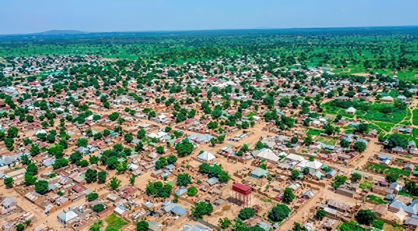
Location & Geography
- Location: Southern Kaduna State, Nigeria
- Headquarters: Kajuru
- Neighboring LGAs: Igabi (north), Chikun (west), Kauru (east), Zangon Kataf and Kachia (southwest/south).[reference:8]
- Area: 2,229 km²[reference:9]
Demographics
- Population: 109,810 (2006 census)[reference:10]
- Major Ethnic Groups: Adara (Kadara), Gbagyi, Hausa, Fulani, Yoruba, Igbo[reference:11]
- Languages Spoken: Adara, Hausa, English.
Economy & Climate
- Main Economic Activities: Farming, livestock rearing, and trading.
- Climate: Tropical savannah climate suitable for crop farming.[reference:12]
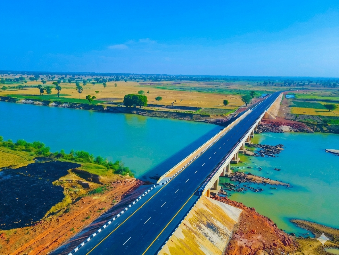
Geography & Economy
Location
Kajuru lies within the southern Kaduna region and has vast agricultural land suitable for grain and cash crop farming. The area is located on longitude 9° 59'N and 10° 55'N and latitude 7° 34'E and 8° 13'E.[reference:13]
Climate
Kajuru experiences a tropical savanna climate (Aw) with distinct wet and dry seasons. The rainy season runs from May to October, and the dry season from November to April. Mean daily temperature can reach 34°C between March and May, and drop to 20°C during December to January.[reference:14]
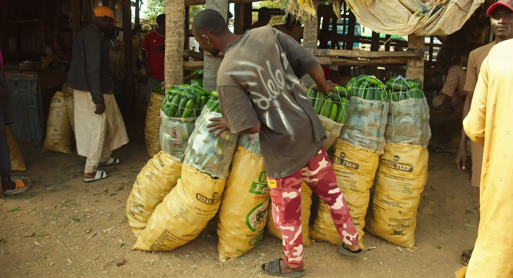
Main Economic Activities
- Crop Farming: Maize, millet, sorghum, groundnuts, ginger, okro, and sugar-cane.[reference:15]
- Livestock Rearing: Cattle, goats, sheep, and poultry.
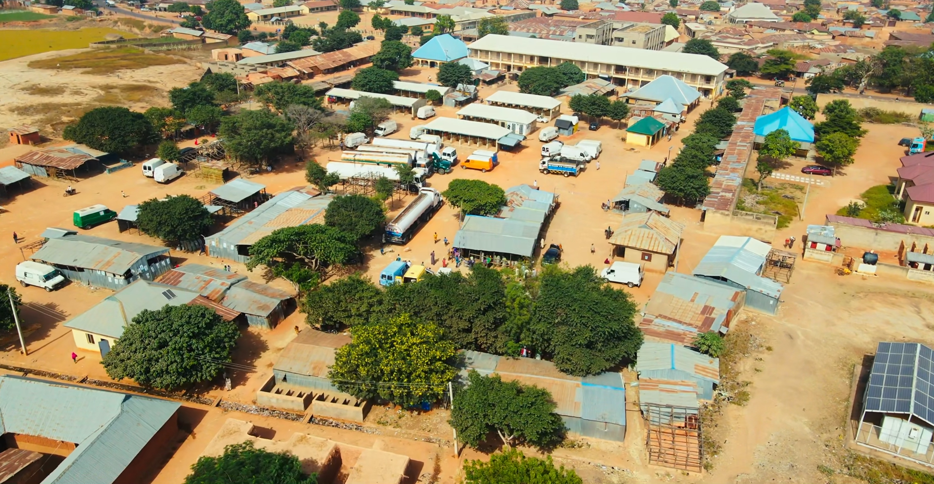
- Local Markets: Agricultural produce trading across rural communities.
- Tourism: The Kajuru Castle, a medieval-style luxury resort built in 1978, is a notable landmark in the LGA.[reference:16]